
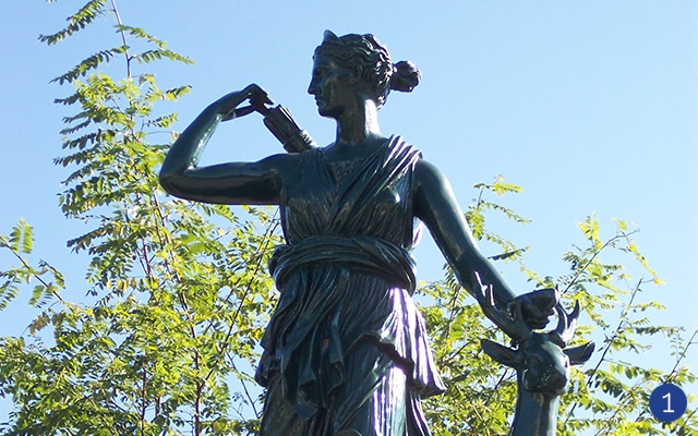
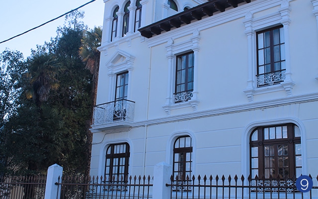
H. GARCÍA NAVEIRA ROUTE

HISTORIC CENTRE ROUTE

WINE AND RIVERS ROUTE

MODERNISM ROUTE

CRAFTS AND TRADITIONS ROUTE


Hermanos García Naveira Route
The aim of this route is to understand the work of brothers García Naveira, Juan and Jesús, the two main benefactors of the city at the beginning of the XX century.
These emigrants to Argentina (“indianos”) made a big fortune that they dedicated to the construction of big charitable works for the underprivileged and the creation of a dreamy place, the Pasatiempo garden, an encyclopaedic park that holds many dreams ready to be discovered.
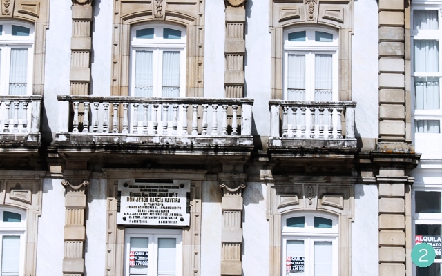
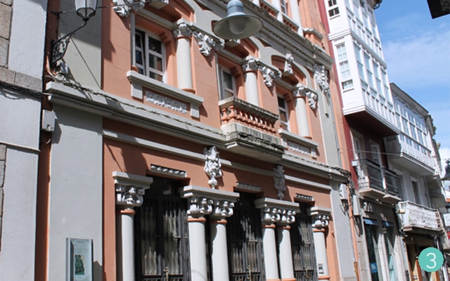
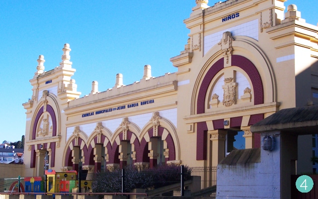
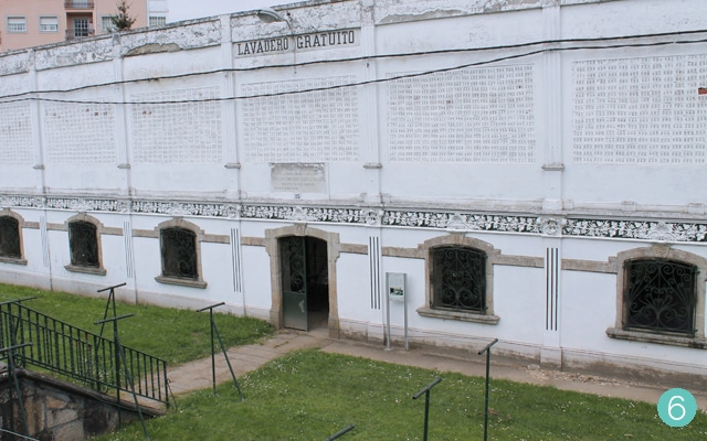
ESTATUA DOS IRMÁNS GARCÍA NAVEIRA (1), CASA DOS IRMÁNS GARCÍA NAVEIRA (2), CASA DO POBO (3), ESCOLAS DE DON JESÚS GARCÍA NAVEIRA (4), PARQUE DO PASATEMPO (5), LAVADOIRO PÚBLICO (6), ESCOLA, ASILO GARCÍA IRMÁNS (7)


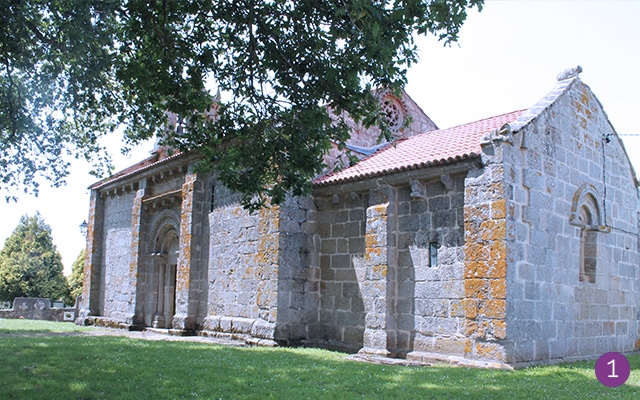
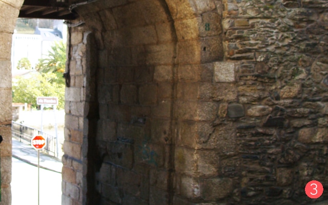
Historic Centre Route
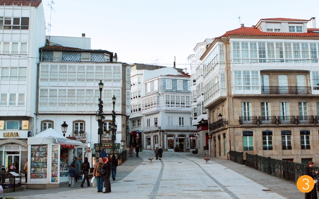
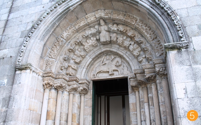
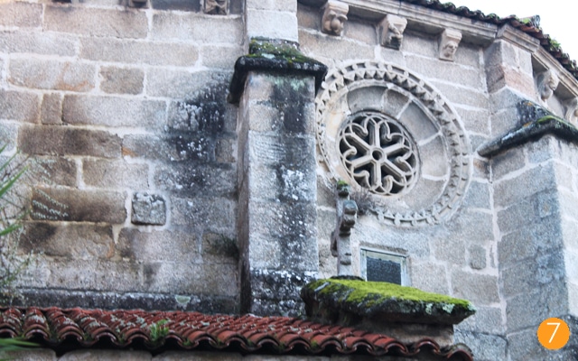
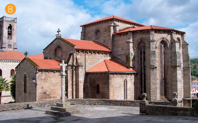
The objective of this route is to see all of the historic-artistic heritage. The historic centre was declared official Complex of Historical-Artistic Monuments in 1970 and possesses national monuments as the Church of Santa María de Azogue and the Church of San Francisco.
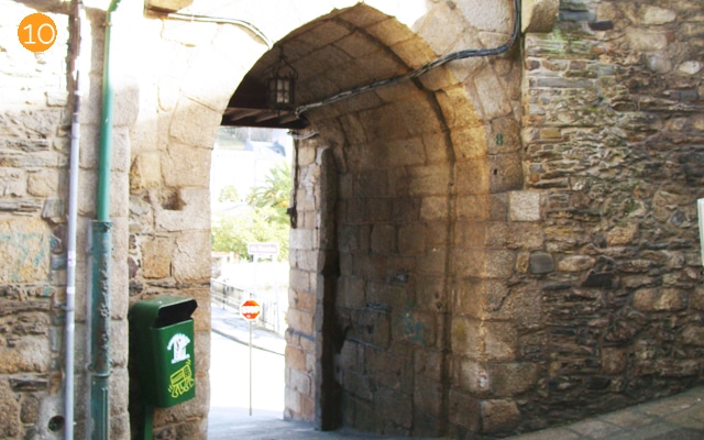
Through the tour of the medieval area of the city (the only one in Galicia that still has three medieval doors) you will discover the events of the city, fun facts and visit the main monuments.
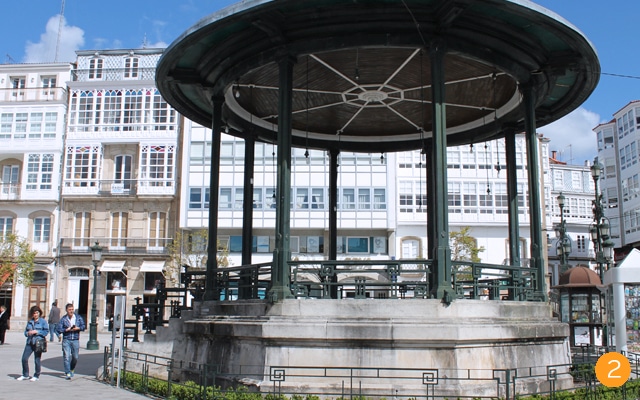
PRAZA DOS IRMÁNS GARCÍA NAVEIRA (Estatua dos Irmáns García Naveira (1), Igrexa de Santo Domingo, Edifico Arquivo, Antigo Hospital de San Antonio, Fonte de Diana Cazadora e Soportais), PALCO DA MÚSICA (2), PORTA DA VILA (3), PRAZA DA CONSTITUCIÓN (Casa Nuñez (4), Pazo de Bendaña, Concello, Pazo e Torre de Lanzós), IGREXA DE SANTIAGO (5), RÚA VOS FERREIROS (Pazo de Taboada (6) e Porta da Ponte Nova), IGREXA DE SANTA MARÍA DE AZOGUE (7), IGREXA DE SAN FRANCISCO (8) (Sepulcro de Fernán Pérez de Andrade “ O Boo”), PORTA DO CRISTO (9), RÚA DA CERCA, PORTA DA PONTE VELLA (10), CONVENTO DAS AGUSTINAS RECOLETAS (11), CASAS POPULARES DA FONTE DE UNTA (12).


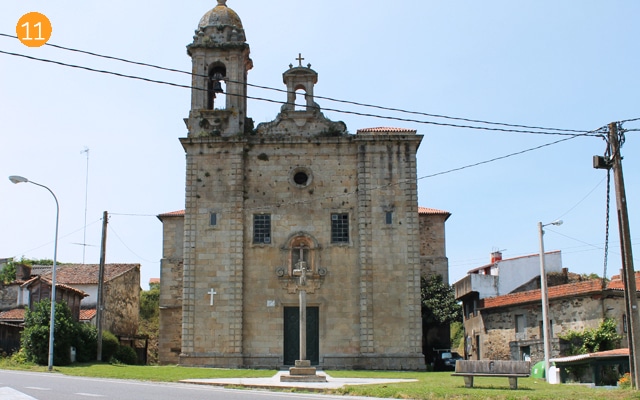

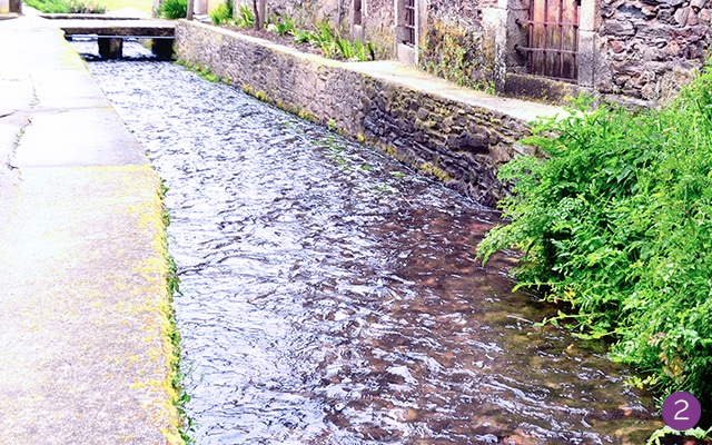
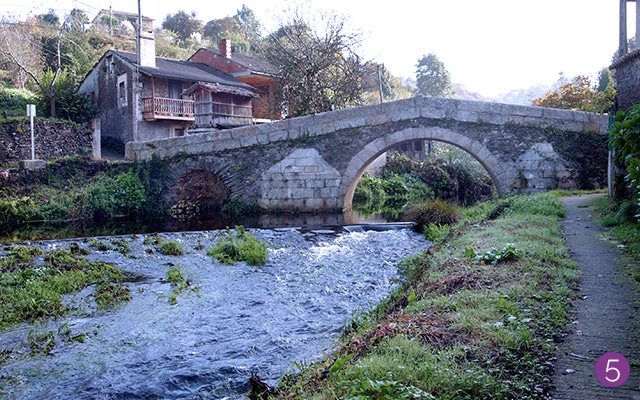
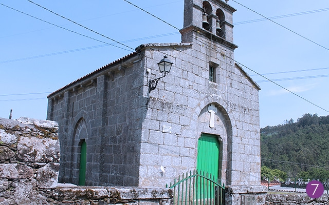
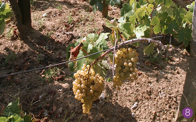
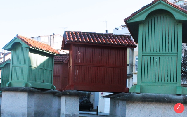
Wine, Sanctuaries and Rivers Route
The objective of this route is to get to know the heritage of Betanzos outside of the urban centre.
The central concepts being the Mandeo and Mendo rivers, the vineyards that surround Betanzos and the most devoted sanctuaries (Os Remedios and As Angustias), we designed two trips which highlight the rural and natural part of Betanzos.
Trip 1:
SANTUARIO OS REMEDIOS, CEMITERIO MUNICIPAL, IGREXA SAN MARTIÑO DE TIOBRE (1), CAMPO DE SAN PAIO, CAMIÑO INGLÉS RUTA DO RÍO PELAMIOS (2), VISITA Á BODEGA DO VIÑO DO PAÍS DA ZONA.
Trip 2:
SANTUARIO DAS ANGUSTIAS (3), PAZO DE ILLOBRE (4), LUGAR DE ROIBEIRA (5), FONTE DE PICACHÁ (6), IGREXA DE SAN MARTIÑO DE BRAVÍO (7), VISITA Á BODEGA DO VIÑO DE BETANZOS NA ZONA (8).


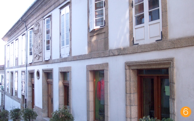
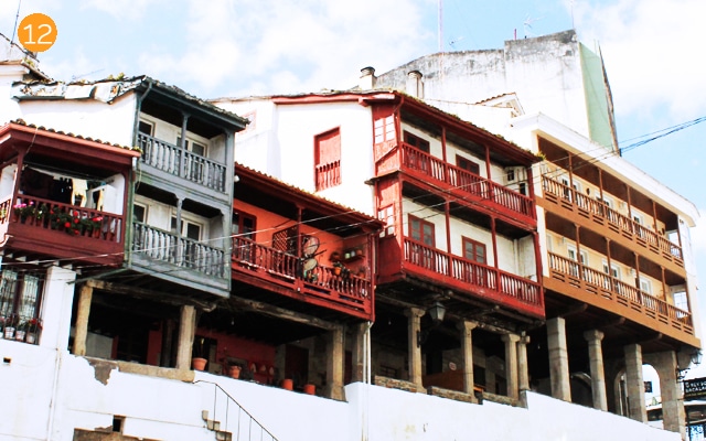
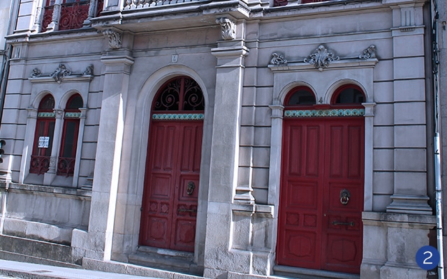
Route of the works of González Villar: modernism and XX century
The aim of this route is to present the most relevant buildings and elements from the modernist style we find in Betanzos. At the beginning of the XX century,
Betanzos went through a deep transformation, leaving the medieval walls behind and building a series of modernist residential houses. Architects such as Rafael González Villar contributed to this work.
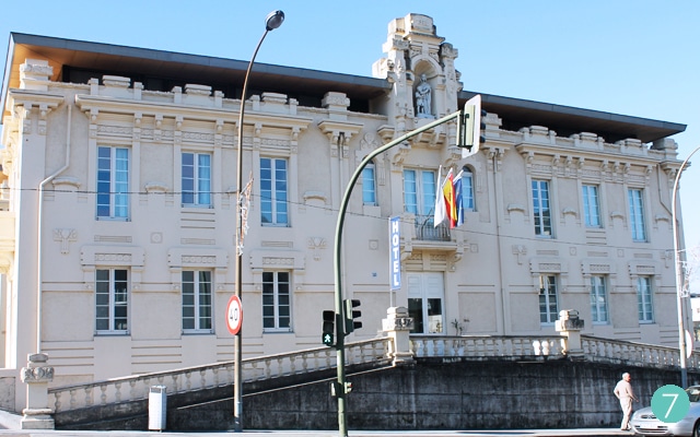
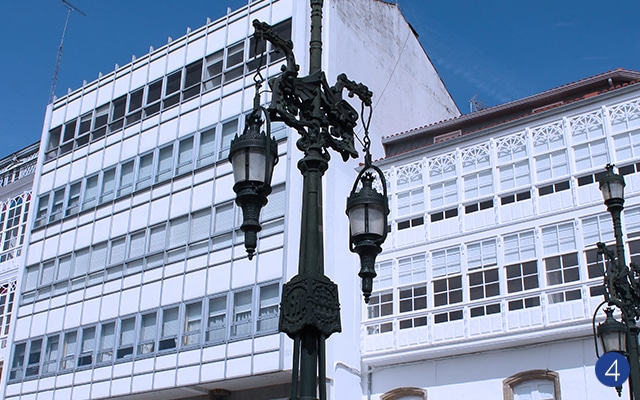
FONTE DIANA CAZADORA (1), CASA VALDOLCEL Nº 7, CASA PITA (2), PALCO DA MÚSICA (3), CASA DE DONA ÁGUEDA, FAROIS DO CANTÓN (4), HOTEL RÚA NOVA, CASA NUÑEZ (5), CASA LIMIÑÓN (6), CASA DO POBO (7), ESCOLAS DE DON JESÚS GARCÍA NAVEIRA, MATADOIRO (8), FÁBRICA DE ELECTRICIDADE DA PONTE NOVA, CASA FLORA (9).


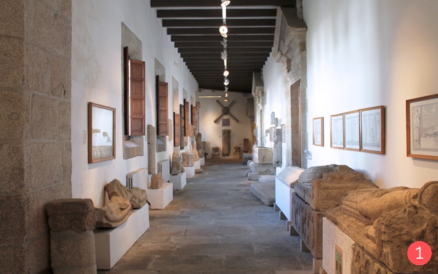
Crafts and Traditions Route
This route has a double purpose: firstly, to explain the configuration of the city of Betanzos since its origin, as the “Castro de Untia” until its transformation into a medieval town and the transformation into a contemporary city.
On the other hand, you will still be able to see the ancient crafts and guilds of the city (that are still reflected in the names of the streets) and the industries that made Betanzos famous such as the wine culture, the hops, the riverside carpentry or the sand pickers. In this route, there will also be time for an explanation of some tales relating to the city of Betanzos.
MUSEO DAS MARIÑAS (1), PORTA DA VILA (2), RÚA DOS PRATEIROS, PORTA DA PONTE VELLA (3), PUERTO, A GALERA(4), RUA VALDONCEL


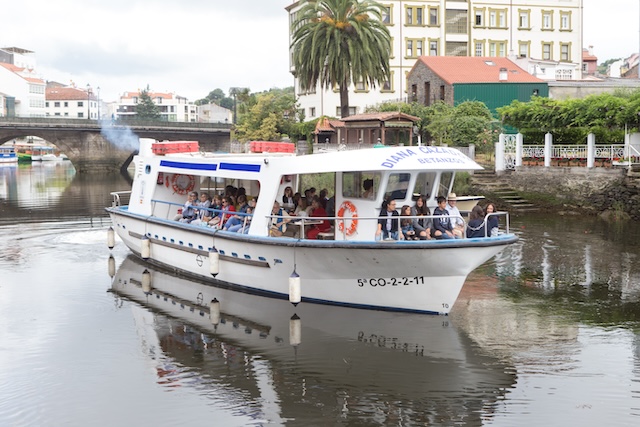
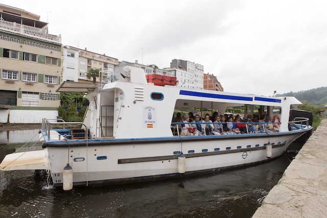
Ruta Diana Cazadora
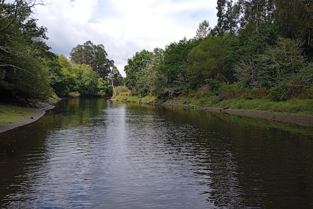
The Betanzos Estuary is located in the north of the province of La Coruña, and bathes the municipalities of Sada, Bergondo, Betanzos, Paderne, Miño and Pontedeume.
The estuary is born in the city of Betanzos, as a consequence of the joint mouth of the Mendo and Mandeo rivers. It runs between marshes and reed beds for about eight kilometers, widening significantly thereafter, and ending up joining the Ría de Ares at the cape known as Punta Carboeira. In addition to the aforementioned rivers, the Lambre and the Baxoi flow into its waters, both on its right bank. It has some of the best beaches in Galicia, especially those of Perbes and Playa Grande, in the municipality of Miño, and that of Gandarío, in the municipality of Bergondo. The Mandeo River rises at an altitude of 700 meters in the peaks of the “Cova da Serpe” in the town hall of Sobrado. The Mandeo River runs for more than fifty kilometers until it reaches its mouth in the beautiful Betanzos estuary, where it joins the Mendo River. In May 2013, UNESCO declared the area occupied by the municipalities of Abegondo, Aranga, Arteixo, Bergondo, Betanzos, Cambre, Carral, Coirós, Culleredo, Curtis, Irixoa, Miño, Oleiros, Oza-Cesuras, as a “Biosphere Reserve”. Paderne, Sada and Sobrado, which comprise an area of 116,724 hectares.
It is called “As Mariñas Coruñesas e Terras do Mandeo”.
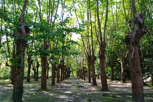
The first reference to the Os Caneiros River Jira is from 1889 in a city newspaper, but it had been celebrated before and in another place. Where the Municipal Laundry is located there was a field in which a gastronomic pilgrimage was celebrated on August 17 (at least in 1886). In fact, for a time both festivals coexisted. It was not always August 18, but varied between the 14th and the 18th (which was the duration of the festivities then). Originally it talks about an excursion of pleasure boats, decorated to reach the countryside and celebrate there, dances, balloons and fires and there are no references to food. The Field where the festival is celebrated is located in the Council of Coirós but belongs to the Council of Betanzos. It is located at the navigable limit of the river and where the tidal water reaches. The name of Os Caneiros refers to some old constructions that were made to promote fishing. The countryside underwent transformations, for example piers had to be built, plane trees had to be planted that provide shade to the countryside. A fountain is also built when a spring appears.
TOTAL LENGTH: 15 METERS
SLEEVE: 5 METERS
DRAFT:0.80 METERS
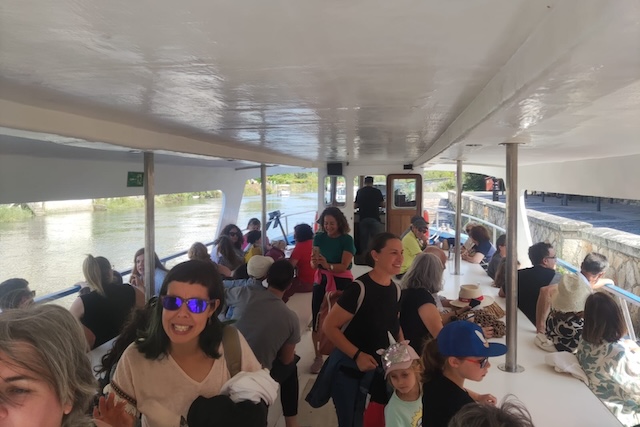
CAPACITY: 55 PEOPLE
PIER: WALK OF TOLERANCE
TOURIST TRIPS
SCHEDULES ACCORDING TO CALENDAR
DURATION 1 HOUR 30 MINUTES
PRICE €5 ADULTS – €1 CHILDREN FROM 4 TO 12 YEARS
CAPACITY 55 PAX (MINIMUM 20 PAX)
DO NOT DOCK
NO FOOD
ACCESSIBILITY – LIMITED BY THE BOARDING AREA
TOURS
TIMES TO BE AGREED (TIDES)
DURATION FROM 1:00 PM TO 9:00 PM
PRICE €615 ORGANIZED GROUPS
260 LOCAL ASSOCIATIONS
CAPACITY 55 PAX
DOORING YES (IN CAMPO OS CANEIROS)
FOOD YES WITH EXTERNAL CATERING
LIMITED ACCESSIBILITY BY THE BOARDING AREA
DISPONIBILIDAD DIANA CAZADORA
Para reservas contacten con la oficina de turismo en el teléfono 981 776 666 o 638 543 169 (WhatsApp) correo electrónico [email protected]